
The Best GPS Device (You Already Own It!)
Words by Max Neale
The Greatest Improvements for Backcountry Adventurers: Camera & GPS Apps
Three years ago I was sitting in a white plastic lawn chair in a small, budget-but-delicious Thai restaurant in Berkeley, Calif. A gaggle of young gearheads and I were talking shop—the best this, the worst that, materials, companies, trips, etc. Eventually, someone asked, “What’s your favorite piece of gear?” then added, “And you can’t say your smartphone!”
Why did he exclude the smartphone from my possible responses? Because, in my opinion, the smartphone is obviously the single best piece of outdoor gear, especially as a GPS device (and/or as a camera)! Outdoor industry gurus knew this even three years ago. Today, phones and their apps are much better. The greatest improvements for backcountry adventurers are the camera and GPS apps. The latter has greatly enhanced the ease with which I move through a landscape.
Backcountry route planning and navigation
Plan your route in detail, using mapping software, far in advance, primarily and send the route to your GPS. Turn on the GPS only when you need to confirm your location or navigate in a whiteout. For more information on the rationale for using GPS check out Hyperlite Mountain Gear Ambassador Luc Mehl’s Backcountry Trip Planning and Navigation.
Smartphone GPS
After eight or so years of hardware improvements and third-party app development the performance of smartphone GPS have improved immensely. In addition to having a DeLorme for its text message and GPS capabilities, it’s a good idea to bring a smartphone GPS because:
- It’s light. An iPhone 6 (4.5 oz.) weighs less than all of the ten handheld units I tested for outdoorgearlab.com, which ranged between 5 oz. and 9.3 oz. (2)
- The screen is better. Smartphone screens are much larger, brighter, and responsive than traditional handheld GPS units. This allows you to see more map with a phone’s precise, high-resolution touchscreen than with a handheld’s clunky, small screen.
- Maps are free. Many companies charge for scale topo maps for one region of the United States (often only two to three states) and for an aerial imagery subscription. In contrast, most smartphone apps provide unlimited free map and aerial imagery downloads.

The drawbacks to smartphone GPS are their reduced water and shock protection, and shorter battery life. Water and shock resistance can easily be addressed with modular cases. For everyday use, in the frontcountry and backcountry, I use a Speck CandyShell case and Zagg Invisible Shield screen protector. To protect the phone from water you can use a resealable, waterproof bag. The team at Hyperlite Mountain Gear also designed the DCF8 and DCF11 4” X 6” Nano Stuff Sack specifically for smart phones; these stuff sacks are highly water resistant (though not submersible). Another excellent, highly water resistant option is the hip belt pockets on all the Hyperlite Mountain Gear packs. In cold weather, sleep with the phone close to your chest, in the chest pocket of a base layer or jacket.
Expect two to ten days of battery life depending on how often you use the GPS, camera, and other functions. I plan for two days when frequently using the GPS and using the phone as my camera. The current best all-purpose battery appears to be the 4.8 oz. Anker 2nd Generation Astro 6400 ($19.99), which has an excellent capacity to weight ratio and charges the iPhone 6 three and a half times.
Gaia GPS (guy-ugh), $19.99 and available for Android and iOS, is the longtime frontrunner in the smartphone GPS app field. I’ve been using it for a year and a half and all of the climbing and ski guides I know depend on it, even when guiding groups in whiteout conditions at 13,000 ft. on Denali. Gaia has in impressive selection of 20+ map and imagery layers that extend far beyond the topos available with traditional handheld GPS apps.
Before you go
- Plan your route. Use Google Earth and download a free USGS topo for your state/region. For on trail routes in popular areas (e.g. Glacier National Park, Yosemite, Moab area) considering an alltrails.com PRO subscription, which provides access to excellent National Geographic Trails Illustrated Maps. Many popular trails (e.g. John Muir, Utah Highline, Appalachian) have existing route files; search for a gpx, .kml or .kmz for your trail.
- Transfer your Google Earth route files to your phone
- Enable the following layers:
- USGS topo–often the best for topographic and geographic info
- Google Terrain–stores lots of information, including roads, in little space; my favorite for large areas
- Google World Imagery–I download aerial imagery for small areas with tricky off-trail route finding: glaciers, canyons and steep mountains with lots of cliffs
- OpenHiking–less detail than USGS, but it covers most of the world. Search the web for the best international maps—Gaia may have access to them
- Download one or more layer using wifi. Gaia’s “download maps for track” selects an area around your track and can be useful for long routes
In the backcountry
- Enable airplane mode, and be sure to turn off wifi and bluetooth
- Close all apps except Gaia
Tips for the best battery life for iPhones
- Do not record tracks; only use Gaia to confirm your location or navigate in a whiteout.
- Close Gaia after each use (double tap the home button and swipe the app up to close). This prevents Gaia from continually updating your location.
- General > Usage > Battery Percentage = on
- Privacy > Location Services. Turn off for all apps except Gaia. Leave it on for camera if you want to add a GPS locations stamp to images
- Privacy > Advertising > Limit Ad Tracking = on
- Privacy > Motion & Fitness = off
- General > Siri = off
- General > Accessibility > Reduce Motion = on
- General > Date & Time > Set Automatically = off
- General > VPN = off
- Keep your phone warm when it’s cold out
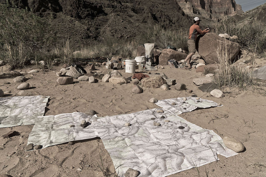
Yes, bring paper maps
It’s useful to have printed maps in addition to Gaia for trips that cover longer distances. I use an alltrails.com PRO subscription to import my route and print 11” x 17” maps (an overview map of the entire route and section maps at 1,100:000 scale) at FedEx or through an online printing service. Store your bag in one of Hyperlite Mountain Gear’s Roll-Top Stuff Sacks in one of the company’s Dyneema® Composite Fabric (formerly Cuben Fiber) backpack for an optimal rainproof system.
Why do traditional GPS units still exist?
Given the overwhelming advantages of smartphone GPS, why do traditional units still exist? Because retail stores make bank when you buy a $500 GPS unit and currently have no means to profit from smartphone apps; they have no incentive to point you to the better product. The smartphone is the ultimate example of good gear—it saves you money, reduces weight, serves multiple purposes, and performs exceptionally well.
Editor’s Note: Devices such as the DeLorme inReach offer a variety of options, including GPS, text and emergency messaging and, most recently, weather reports. Thus, while we agree with Max Neale about the importance of smartphones, our CEO Mike St. Pierre typically brings an inReach on his expeditions as well as maps and his smartphone.